Colorado Agricultural and METeorological Network
Colorado's Mesonet
CoAgMET is a network of 90 research-grade weather stations around the State of Colorado, managed by the Colorado Climate Center. Originally designed to measure reference evapotranspiration near crops (hence the emphasis on ET in the name!), the majority of sites are located in rural areas near agricultural lands.
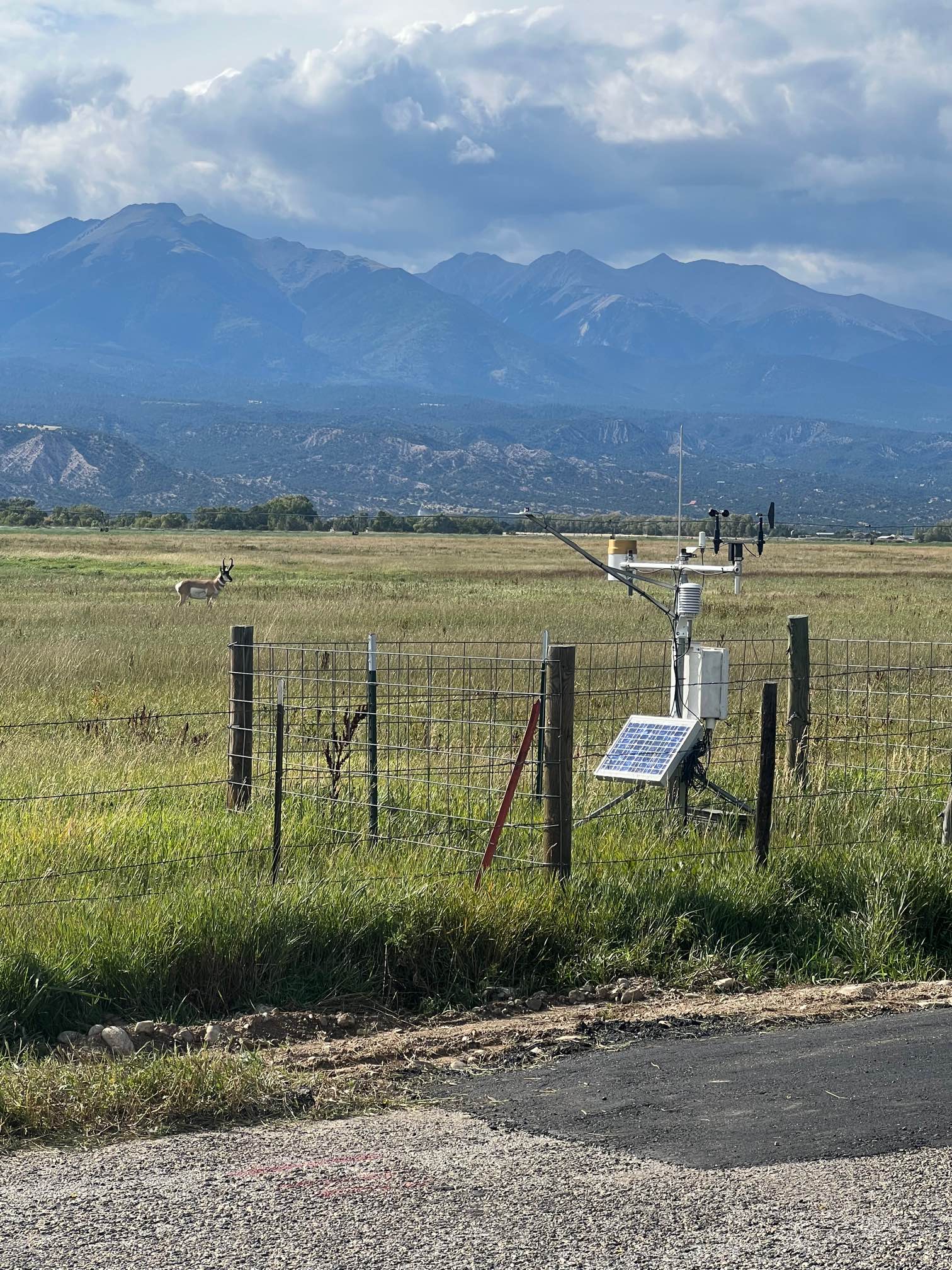
Colorado's unique topography lends itself to a wide diversity of conditions across CoAgMET sites. Stations in the Eastern Plains range from 3,500 feet above sea level to 5,000 ft asl. Many of our mountain stations sit above 7,000 ft asl (including Salida in the photo, courtesy of Alistair Vierod), and our highest elevation station is Jefferson, at 9,600 ft!
The long-term CoAgMET stations have records dating back 30 years. Most stations report a wealth of information every 5 minutes. Explore our site to access all the data and products.