

 Loading...
Unless otherwise noted, CoAgMET stations measure wind at 6.6 or 9.8 feet
Station atmospheric pressure, not adjusted for elevation

Colorado Agricultural METeorological Network
Colorado’s Mesonet
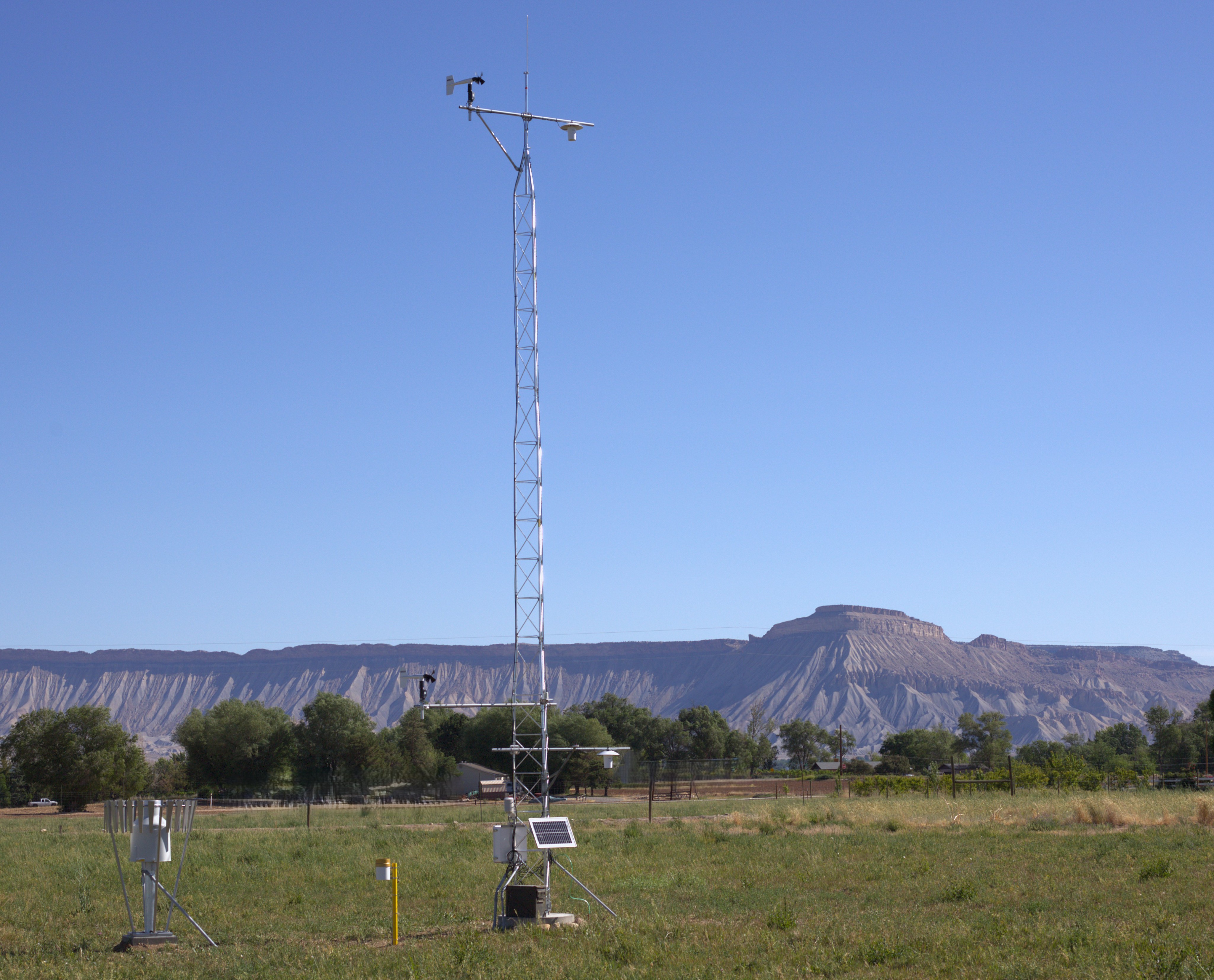
CoAgMET is a network of more than 100 research-grade weather stations across Colorado, managed by the Colorado Climate Center. Because a cornerstone of the network is to calculate crop evapotranspiration (hence the emphasis on ET in the name), most stations are in rural areas near irrigated agriculture.
Colorado’s unique topography creates a wide diversity of conditions across CoAgMET sites. Station elevations range from 3,500 feet above sea level near Holly to 9,500 feet near Jefferson, our highest elevation station. Many of our mountain stations sit above 7,000 feet, including the station near Salida shown in the photo.
The earliest CoAgMET stations have records dating back to 1992. Near real-time and historical data are available, with data collected every five minutes. Explore our site to access data and products.
CoAgMET receives funding from a variety of sources to grow, enhance, operate, and maintain the network.


Additional support is provided by the following station sponsors:
- Arkansas River Conservation District
- Arkansas River Compact Administration
- Bookcliff Conservation District
- Centennial Water Sanitation District
- Chatfield Reservoir Mitigation Company
- Eagle County Conservation District
- Kit Carson County CSU Extension
- Lower Latham Reservoir
- Mancos Conservation District
- Mount Sopris Conservation District
- National Park Service
- Southeast Area, Otero County CSU Extension
- United Water and Sanitation District
- Upper Arkansas Water Conservancy District